1
Lauder, Gold Diggings and the Manuherikia River
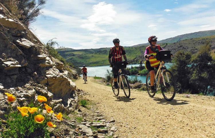
The Rail Trail starts at the former Clyde railhead and runs through a flat semi-rural landscape of orchards, vineyards and lifestyle blocks. Here you will find one of only two wooden trestle bridges on the Rail Trail, the Muttontown Viaduct, which crosses the usually dry Muttontown Gully. From Alexandra, the trail crosses the Manuherikia River and passes through the old Tucker Hill gold diggings - so named because the diggings weren’t rich but could be relied upon to provide enough money for basic necessities. You will then cross the Manor Burn, and travel along the Galloway flat before crossing the Manuherikia River again, near Chatto Creek. This part of the trail runs through a typical Central Otago schist rock and wild thyme landscape and finishes at the site of the former Chatto Creek railway station, across SH85.
Between Chatto Creek and Lauder, the Rail Trail runs through the irrigated farmland of the lower Manuherikia Valley. To the northwest you will see the 1650m high Dunstan Mountains and, to the southeast, the Raggedy Range which separates the Manuherikia Valley from the Ida Valley. Omakau owes its existence to the arrival of the former railway. Across the Manuherikia River from Omakau is the historic goldfields village of Ophir, which was the most populous centre in the area until the railway was built. Lauder is the town closest to the popular Poolburn Gorge section of the trail.
Ride distance: 43 km (26.7 mi)
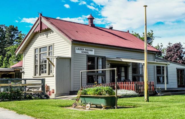
Accommodation: Lauder School B&B - 1 Night
2
Lauder to Ranfurly
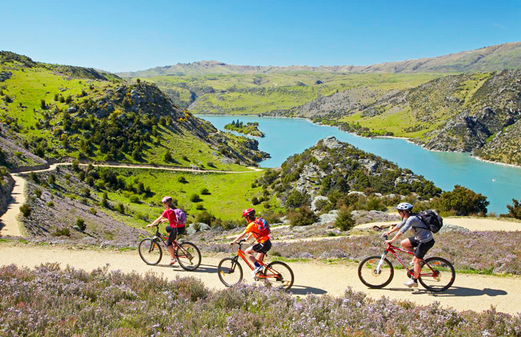
Cross the Manuherikia River on the trail’s longest bridge (110.6m/360 feet) before passing through the Poolburn Gorge to the Ida Valley. Next you will encounter two tunnels, cut through the schist bluffs of the Poolburn Gorge and cross the Pool Burn on the 37m/121ft high Poolburn Viaduct, complete with impressive schist rock piers and abutments. From here, you will slowly descend the slopes of Blackstone Hill and past the former sites of Auripo and Ida Valley Stations. The trail then crosses the Ida Valley to Oturehua, passing the Idaburn dam, popular for its winter curling bonspiels.
Just north of Oturehua the Rail Trail intersects with Reef Rd, before gradually climbing the northern tip of a mountain range known as Rough Ridge. From the top, the trail begins an easy descent, crosses the Maniototo Plains, and takes you past the Wedderburn Station site where the Goods Shed has been returned to. This section of the Rail Trail ends at Ranfurly, the main service town of the Maniototo district.
This stretch of the trail has several claims to fame in its historical railways engineering and spectacular gorge scenery as you pass from one valley to the next. The gorge is also home to the rare New Zealand falcon.
At Oturehua, you can visit the authentic 1930’s style Gilchrist’s Store (still operated as a general store) and the historic Hayes’ Engineering Workshop. Oturehua is renowned for its hot summers and cold winters, and frequently records both New Zealand’s highest and lowest temperatures. Once on the trail, a worthwhile detour up Reef Road leads to the Golden Progress Mine, an historic gold mining site.
The top of Rough Ridge between Wedderburn and Oturehua marks the highest point of the Rail Trail, (618m/2017ft above sea level) with the trail rising more noticeably here. Near this spot, the Rail Trail crosses the line of 45 degrees south latitude. Look for the markers.
Meals: Breakfast
Ride distance: 48 km (29.8 mi)
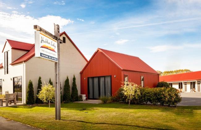
Accommodation: Hawkdun Lodge - 1 night
3
Ranfurly to Middlemarch
From Ranfurly, the Rail Trail runs through the southern Maniototo Plain to the village of Waipiata. It then crosses the Taieri River and passes the site of the former Taieri Lake, which was approximately 3km/1.86m wide in the 1850s, but slowly shrunk away as a result of drainage and silting up from mine tailings. After arriving in the Upper Taieri Gorge, the trail then closely follows the Taieri River until you reach Hyde, the cone-shaped hills to the east providing a reminder of ancient volcanic activity in this area.
Features of this section of the trail include the historic stone bridge over the Cap Burn at Tiroiti, which has been retained in its original form as an example of railways engineering. The Rail Trail gives you the option of deviating around the bridge, allowing you a close look at the dressed stone abutments and iron bridge trusses. Also on this section of the trail is the 32m/104ft high Price’s Creek Viaduct and the 152m/500ft long Price’s Creek (Hyde) tunnel.
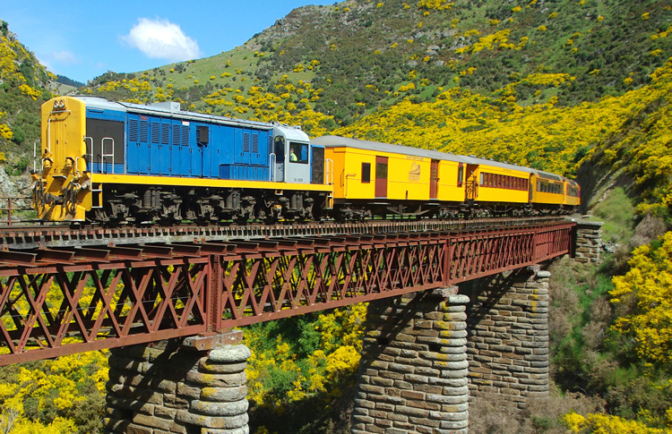
Upon arriving in Middlemarch you drop off your bike and will be transferred to Pukerangi to hop on a remarkable 2 hour train through the Taieri Gorge onto Dunedin.
Meals: Breakfast
Ride distance: 59 km (36.7 mi)
Notes
The cycling is on a vehicle free trail with an easy gradient.
Inclusions
- Cycle equipment: Bicycle, helmet, repair kit, panniers, odometer
- Trail documentation
- Luggage transfers
- Ensuite or private bathroom accommodation
- All breakfasts
- Transfer Queenstwn to Clyde
- Transfer Middlemarch to Pukerangi
- Taieri Gorge Train from Pukerangi to Dunedin
- Bus transport from Middlemarch to Queenstown if required instead of the train
This itinerary can be fully customised to suit your requirements.
What Chrissy says about this tour: This is a really neat tour for families and groups with a wide age range. All the bike gear and transfers are provided, so the biking is fully supported. The terrain is easy and the views are stunning.
Enquire Now

