1
Routeburn Shelter - Routeburn Falls
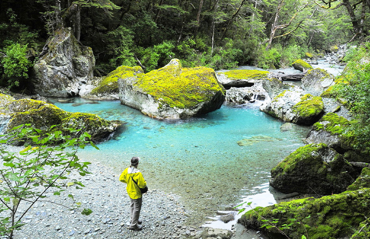
One of New Zealand's 'Great Walks', and a must, it should be on everyone's hiking bucket list - The walk follows the emerald green waters of the Routeburn river through some of the best Beech Forest in the country, four to five hundred year old red beech trees just 20 minutes into the hike. This was the proposed route of a wagon trail to carry gold over, the walking track is in great condition but it's hard to imagine having much fun in horse drawn stagecoaches in the 1860s! Follow the river past stunning mini gorges into the alpine sanctuary of Routeburn Flats, where you leave the forest to reveal the mountain panorama. Relax and enjoy the peace and solitude of Flats.
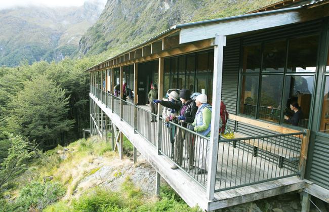
The track then ascends from the Routeburn Flats Hut, the trail crosses two footbridges with the Emily Creek Bridge considered about halfway. The 984ft (300-metre) climb is barely noticeable but the views are breathtaking!
Transfers from Queenstown: The shuttle from Queenstown to the start of the track (Routeburn Shelter) departs Queenstown at 12:15pm
Walking Distance: 9km (5.5 mi) - 3 to 4 hours walking
Accommodation: Routeburn Falls Hut - 1 Night
2
Routeburn Falls - Lake Mackenzie
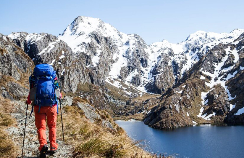
The track takes on a suitably Alpine nature, Climb steadily up the valley, through wetlands and tussock-covered flats, before sidling along the bluffs above Lake Harris to reach the highest point on the track at Harris Saddle -1,255 m (4117 ft).
The track curls up over moraines and across cliffs above Lake Harris, numerous cascades spill into it. You reach the Harris Saddle; here you enter Fiordland National Park. A steep 260-metre (853 ft) side trip leads to Conical Hill, one of the best view of the walk. The next section gives excellent views of the intimidation Darran Mountains, including Mt Tutoko and the upper Hollyford Valley. The track zigzags sharply down to Lake Mackenzie.
Walking Distance: 11km (6.8 miles) - 5 to 6 hours walking
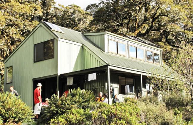
Accommodation: Lake Mackenzie Hut - 1 Night.
3
Lake Mackenzie - The Divide
The last day offers a huge diversity of scenery. Leaving Lake Mackenzie Hut the track crosses a small flat before climbing to the bushline. A gradual descent then leads past the ‘Orchard’, an open grassy area dotted with ribbon wood trees, to the impressive Earland Falls 570 ft (174 metres). The track continues its descent through beech forest to Lake Howden Hut and on to The Divide. A popular side trip (1 hr 30 min) to Key Summit climbs to an alpine wetland with panoramic views over Fiordland mountains and alpine lakes.
Walking Distance: 12km (7.5 miles) 4-5 hours walking
Shuttle: There is a 15:15 (3:15pm) Shuttle from The Divide back to Queenstown - this takes 4 hours.
Notes
Meals: Please be aware you have to carry your food and cook set. There is no possibility of buying any extra food during the walk.
Porters: You have to carry your personal belongings as well.
Info: Cold temperatures, snow, strong winds and heavy rain can occur at any time of the year. A helicopter ride can be necessary over a hazard area. Cost NZ$80/person. When you will exchange your tickets, the Department of conservation will take a credit card print if they think there might be a risk of severe weather conditions. The amount won’t be debited if the helicopter is not used.
What Jo says about this tour: This is the wilderness hike that I recommend to experienced and keen hikers. Totally self guided, so you must carry all your personal gear and food for three nights. The spectacular and varied scenery during the Routeburn Track ensure this is a popular hiking adventure with locals too.
Enquire Now

